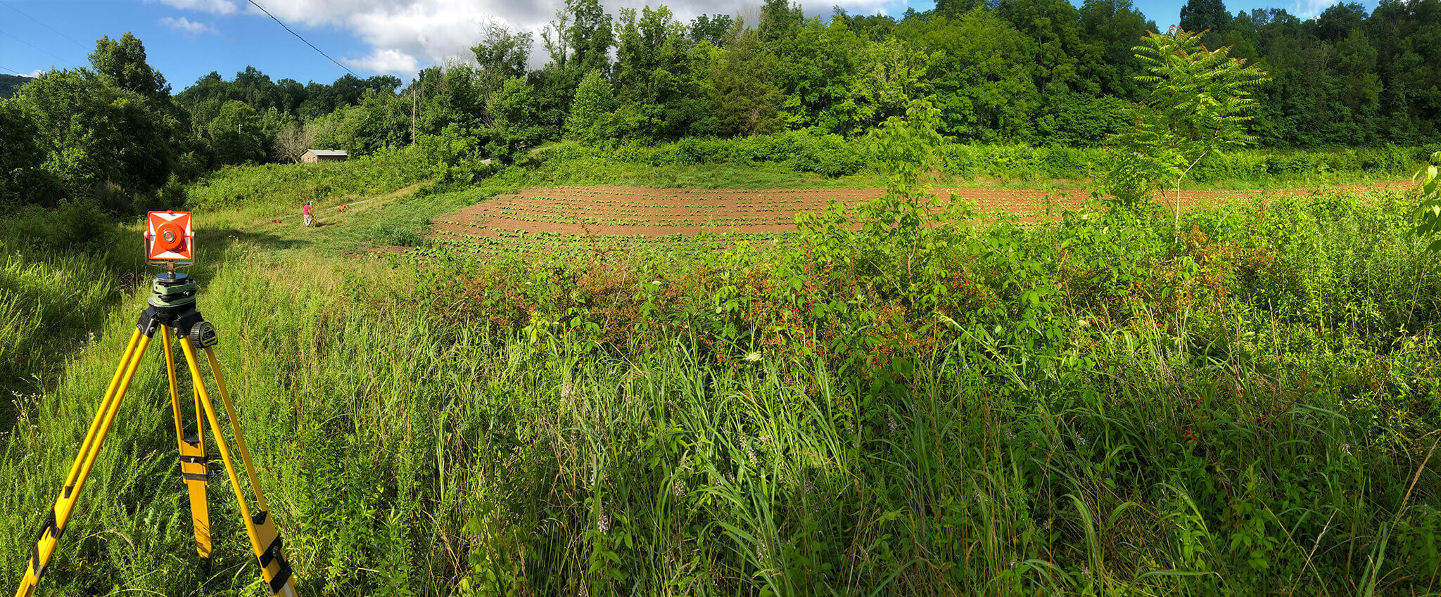

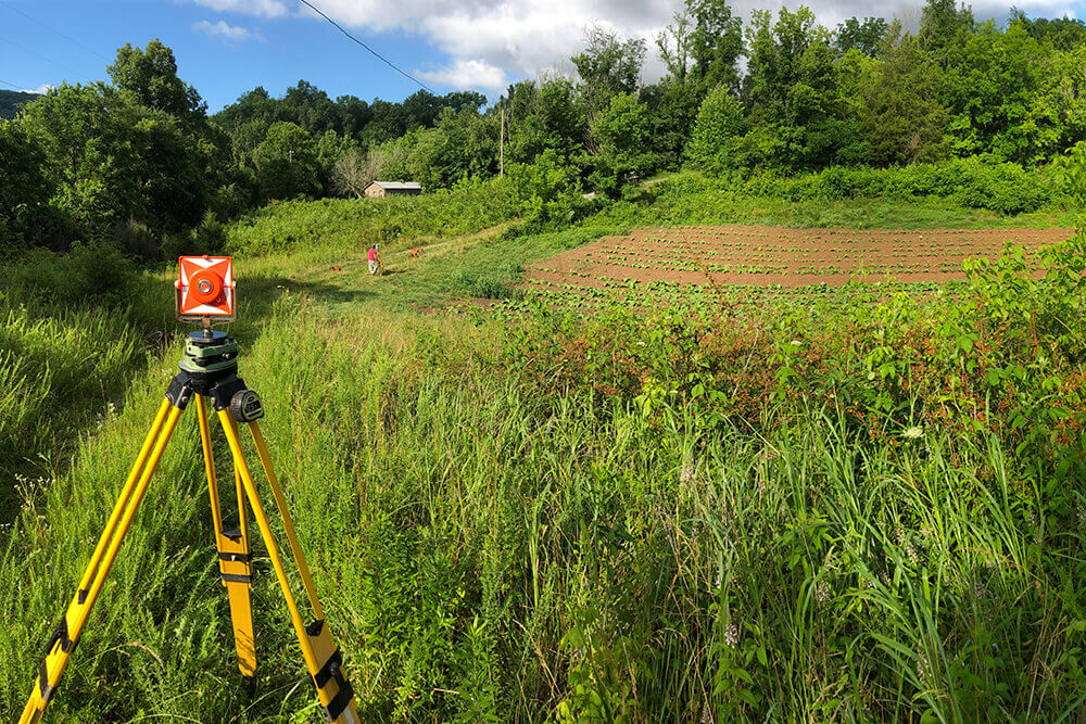
Survey work is the cornerstone of RGC&A’s project capabilities. We have two licensed surveyors on staff who oversee multiple survey crews. We stay current with the latest technology in surveying, including GPS, total stations, drones, and LIDAR. We use these to complete surveys for public and private entities. No matter the size or scale of your survey project, RGC&A can meet your need.
Our survey services include:
- Property boundaries including easements and legal descriptions
- Topographic surveys for roadways, utilities and sites
- Bridges and associated drainways
- Control surveys including establishing control networks
- As-builts
- Geographic Information Systems (GIS) creation and additions
- Quantity verification for various roadway, utility and site needs
- Construction stakeout
Projects
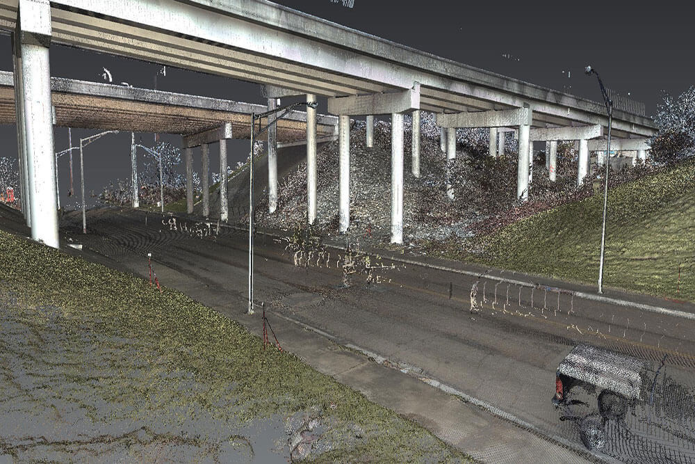
I-24 LIDAR Scan
Tennessee
Lone Mountain Road Boundary Survey
Claiborne County, TN
Bush Beans Farm Stream Rehab
Jefferson County, TN
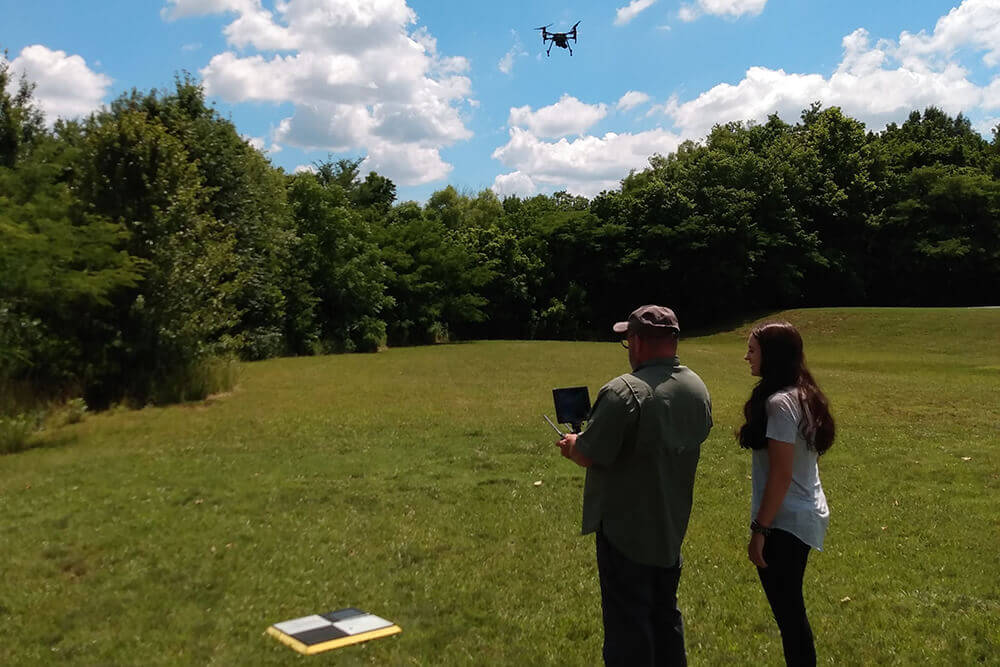
Drone Survey Training Flight
Knox County, TN
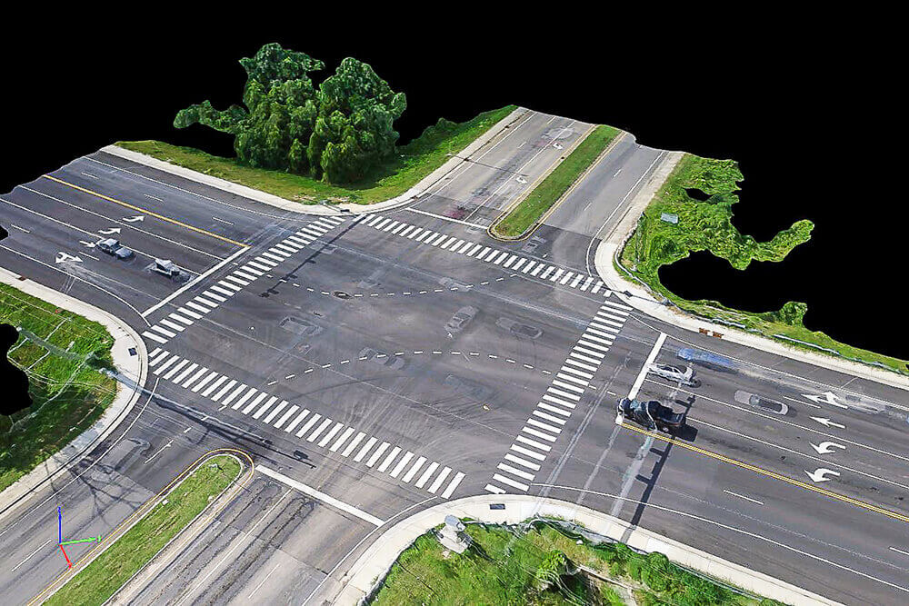
Schaad Road Intersection Drone Survey
Knox County, TN
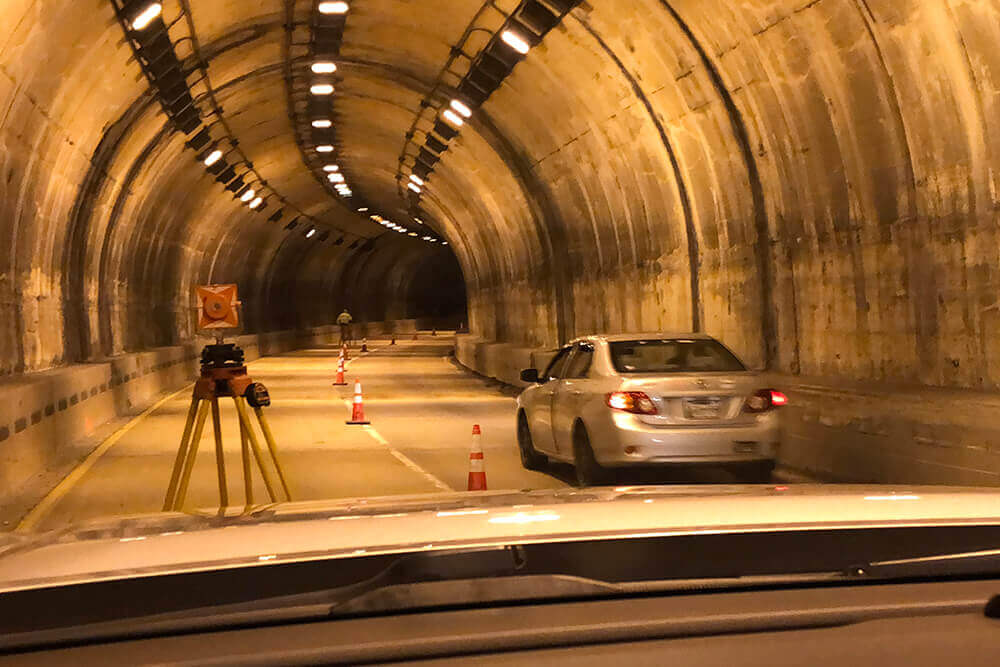
US-441S “The Spur” Tunnel
Sevier County, TN
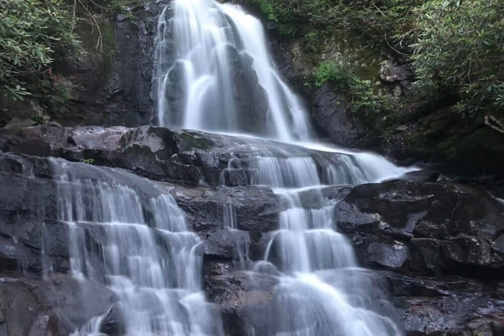
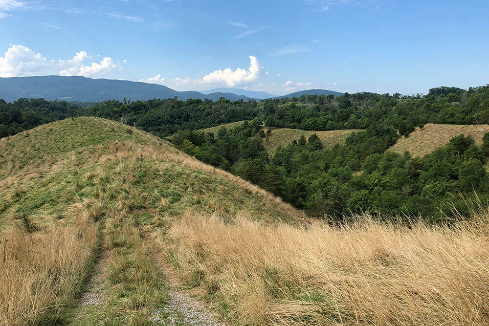
Laurel Falls Trail Survey
Great Smoky Mountains National Park